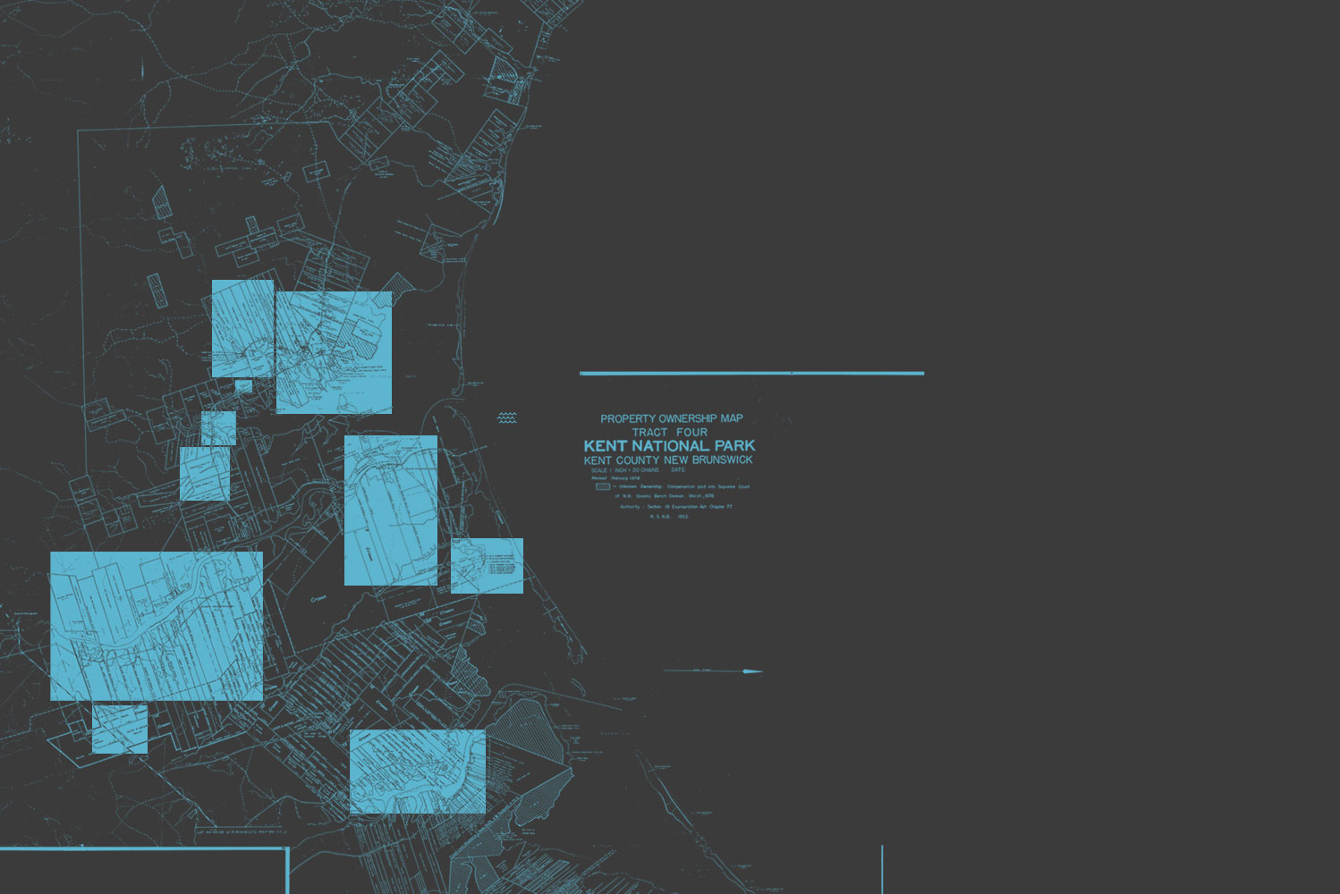
The 26 stories presented here describe the impact of the expropriation on ten selected regions of the territory that became the park.
The Woods property was located at what became the entrance to the park. Today a large welcome sign sits perched amongst the old apple trees that formed part of the farm.
These properties were at the western end of the community of Kouchibouguac, a largely English-speaking community that stretched along both shores of the Kouchibouguac River.
The communities of St-Olivier and Cap St-Louis bordered on the Kouchibouguacis River, one of two rivers that residents fished along.
At the eastern-most point in the park, Callendars Beach provides access to Kouchibouguac Bay. Families visited the dunes just beyond the shore for clam-digging outings in summertime.
At the eastern end of the park where the Kouchibouguac River empties into the bay, the former W.S. Loggie fishing complex and Kellys Beach sit across the river from each other.
Fontaine was the most populated of the communities destroyed to create the park. It was home to Jackie Vautour, leader of the resistance to the park's creation, who still lives on his land.
The Shortcut was a path that connected the communities of Claire-Fontaine and Fontaine. Along the path, which now serves as a bike trail, is the only home that was not destroyed in creating the park.
This part of the community of Claire-Fontaine was adjacent to the church, a focal point for the residents, who still miss it forty years later.
The Black River flowed near this part of the community of Claire-Fontaine. A covered bridge connected the communities to the north and south of the river and provided a gathering place for young people.
Rankin Brook flowed across this part of the community of Claire-Fontaine. The brook attracted fishers from near and far.


